Citizen science + Photos of signs in public spaces = literacy and spatial awareness
By Peggy Ashbrook
Posted on 2016-12-23
If you and the children need to be active to stay warm outdoors in cold temperatures, consider walking fast on a walking field trip to locate and document signs around your community. In the September 2011 issue of Science and Children I wrote about helping children understand what models are by taking a walking field trip to create a model (map) of the area around the school (Early Years column, A Sense of Place: Schoolyard as a Model). Using photographs taken by teachers, children matched each photo with the actual sign as they walked past it, and placed the photo on a paper map, locating the sign relative to other landmarks.
 Now there is a group of scientists who need help collecting photos of signs and lettering in public spaces so they can analyze the diversity and dynamics of public writing. Their project is called Lingscape – Linguistic Landscaping and the project uses an app to send the data. Your children can help collect this data while becoming more aware of the spatial relationships between street signs and other human infrastructure and the landscape. As children find and photograph signage, they can identify symbols and letters, sound out and read words. While they help scientists in another location study public writing, they can learn about how public writing is used in their community.
Find out more about this and other such citizen science projects from the SciStarter website.
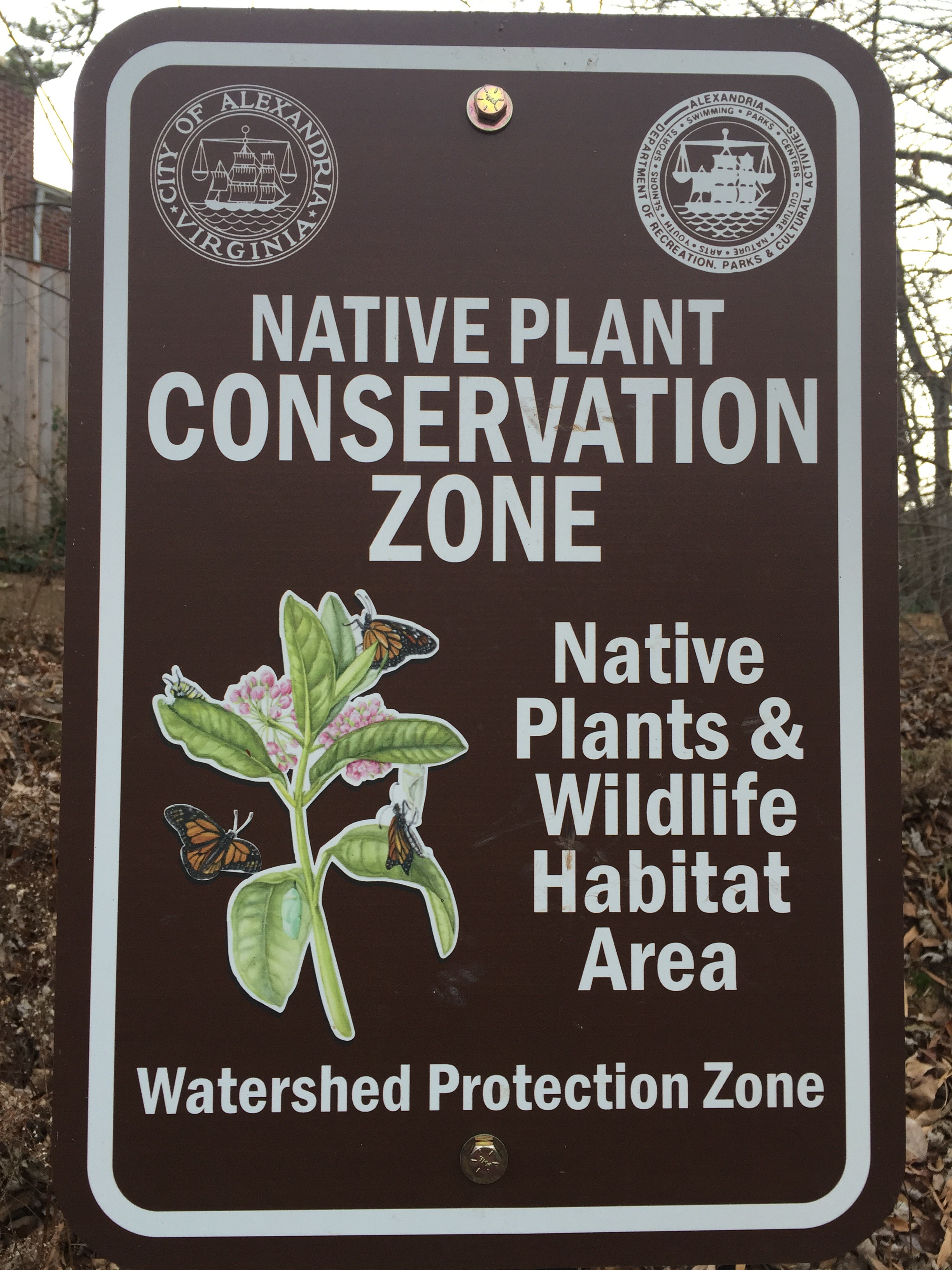
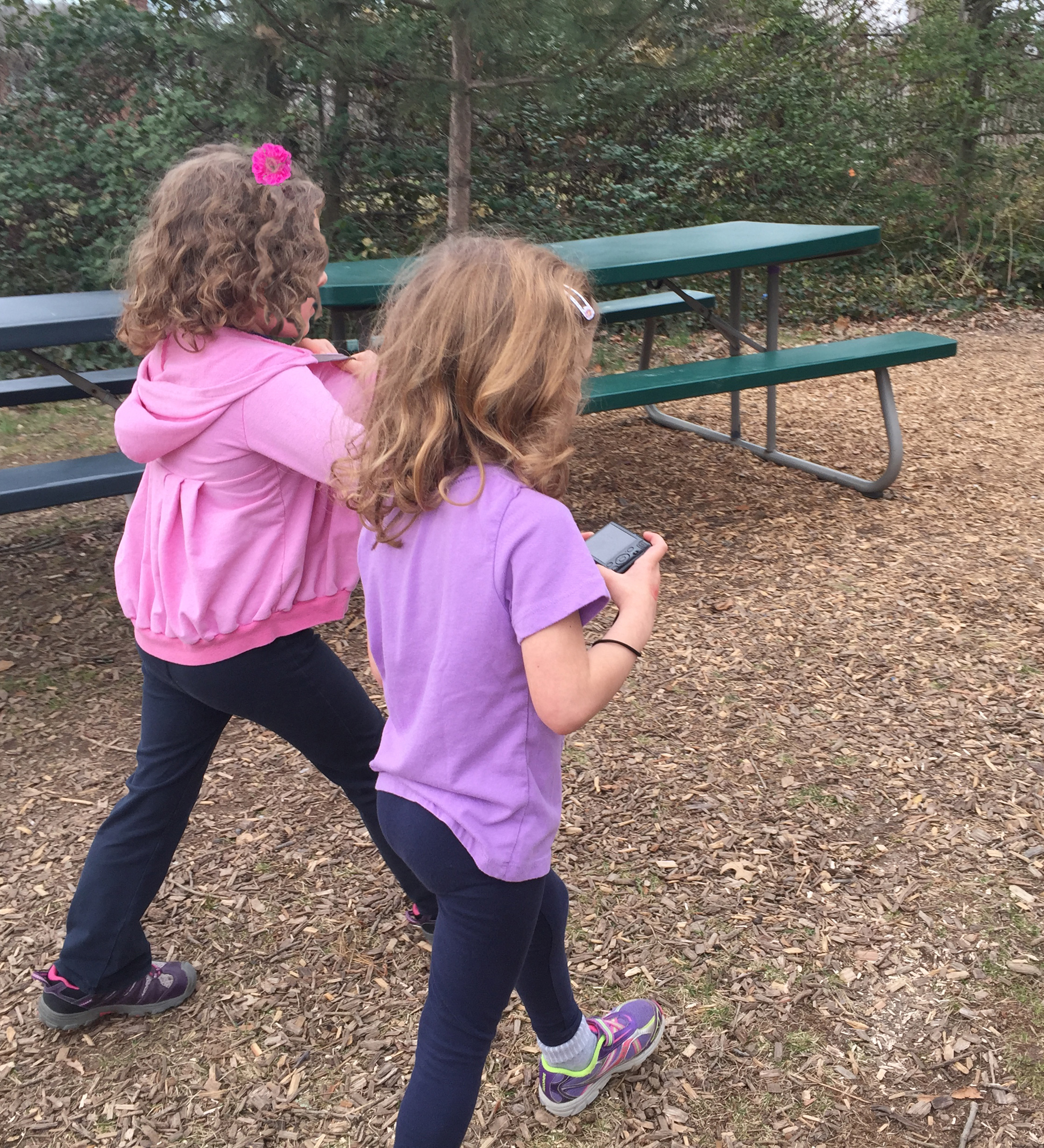 I used the Lingscape–Linguistic Landscaping app to document signs and lettering in public spaces near the school and it worked well. Even young children can use digital cameras although teachers might have to crop their photos for clarity. The location services must be turned on to locate your photos automatically on the app’s map but you can set the location yourself if you prefer not to share location on the camera or phone.
Print copies of the photos for children to use in creating a class book about signs in the neighborhood. Young children may not immediately understand that the satellite photography or map base represents the landscape around them but they will enjoy discovering and documenting signs, and looking at examples uploaded from other locations, perhaps some they have visited, lived in, or have family living there.
Disclaimer: The views expressed in this blog post are those of the author(s) and do not necessarily reflect the official position of the National Science Teaching Association (NSTA).